Norfolk’s November & December Weather & a Yearly Summary for 2015
By Russell Russ
Unusual Weather to Finish the Year. The closing months of 2015 brought warm weather and below average amounts of rain and snow. Actually, very warm and very snowless. Unusual for Norfolk, but for 2015 it seemed to be a fitting end to a strange weather year. Numerous months throughout the year ranked high in several categories. Warm temperatures, rainfall deficits and snowfall deficits immediately come to mind, but there were also cold temperatures and snowfall amounts that ranked high in the record books as well. The end of 2015 marks the completion of eighty-four continuous years of daily weather observations at the Norfolk 2SW weather station. This past year will certainly be remembered as being one of the strangest ones in this station’s history.
November’s average temperature of 42.1 degrees was 5.1 degrees above normal and was tied with 1975 as the fourth warmest November on record. The warmest was 2006 with an average temperature of 43.2 degrees. November’s total precipitation amount of 2.40 inches was 2.24 inches below normal. Not record worthy, but it did increase the yearly deficit. Only a trace of snow was observed, 6.5 inches below normal, but not all that unusual.
December was off the charts warm. When you can look at a thermometer in Norfolk on both Christmas Eve and Christmas and the temperature is warmer than it was on Independence Day you know something is strange. The July 4 low was 55 degrees, the high was 67. The high on Christmas Eve was 64 and on Christmas was 58. Needless to say, it was not a white Christmas here this year. Daily high temperature records were set on December 15, 17, 24 and 25. December’s average temperature of 39.5 degrees was 14 degrees above normal. It was by far the warmest December on record, beating the previous December 2001 record by 4.4 degrees.
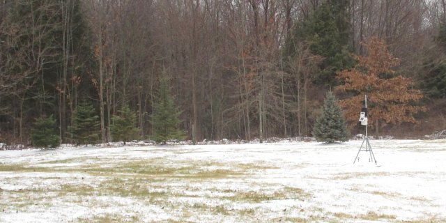
December did see near normal precipitation with 4.10 inches, just 0.44 inch below normal, but that only included 1.5 inches of snowfall (mostly sleet). That 1.5 inches placed this month tied for third lowest snowfall amount for the month of December. Besides being very warm, this month will be remembered as having much more than its fair share of cloudy days and mist and fog.
The year of 2015 will be remembered as being warm and dry, which it certainly ended up being, but it began very cold and snowy. Last winter started off warm then turned much more winter-like after January. We could possibly see this happening again this winter. The 2015 yearly mean temperature of 46.0 degrees was 1.2 degrees warmer than normal, ranking it as tied with 2007 and 2008 as the twelfth warmest year on record. May, September, November and December were very warm, but January, February and March were quite cold. The crazy warm December was negated by the crazy cold February.
The year’s total precipitation amount of 41.57 inches was 11.22 inches below normal. It was the seventh driest year on record. The snowfall amount of 72.7 inches was 17.8 inches below normal, but thanks to the above normal snowfall in January and February it does not rank very high for least amount of snowfall for a year.