The Arrival of Autumn
By Russell Russ
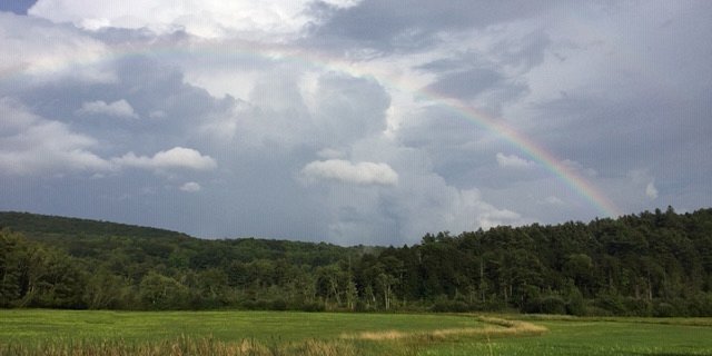
The first half of September was about normal for temperatures, September temperatures that is. It was a mostly cloudy first half of the month with normal amounts of rainfall. It was a noticeable change from the near non-stop warm and beautiful weather Norfolk had experienced since June. The second half of the month had many clear and quite warm days. On top of the pleasant weather, the fall foliage just seemed to be better than it has been in recent years. Autumn coloring became very noticeable by mid-month and progressed very nicely all throughout the month. Hard to complain about the early fall weather around here, except perhaps for the lower than normal amount of rainfall and slowly increasing rainfall deficit.
September’s low temperature of 36 degrees was observed on September 19 and the high of 83 degrees was observed on September 23. The average mean temperature was 59.5 degrees, just 0.5 degree above normal. Two days late in the month reached record levels for warmth. The 83 degree high on September 23 surpassed the old record of 82 set back in 1970 and the 75 observed on September 28 tied the 1948 record for that date.
Frost occurred in many lower elevation valleys in the Northwest Corner on September 19 and 20. There was no frost at the relatively higher elevation weather station during the month. Norfolk’s warmest September was in 2015 with a mean temperature of 64.7 degrees. The coolest was in 1963 with a mean temperature of 53.6 degrees. Temperatures this September were very much normal.
The month’s rainfall total was 2.87 inches, 1.82 inches below normal. It was also 5.90 inches less than last September’s total. What a difference a year makes. September was Norfolk’s fourth month in a row with below normal rainfall totals. The lack of rainfall this year is becoming a bit of a concern, but only locally. There is no widespread regional drought this year. Norfolk has just ended up on the lower end of rainfall totals since June. On the flip side, Norfolk has seen some very nice (and dry) weather since June. Norfolk’s wettest September was in 1938 with 13.40 inches (thanks to the Hurricane of ’38). The driest was in 2014 with just 1.16 inches.
Through September this year, the total yearly precipitation amount was 34.98 inches. This was 4.19 inches below normal. It was also 14.10 inches less than the yearly total through last September. What a difference a year makes. There was no wintery precipitation observed this September, but it has occurred during six days in the month of September over the last 88 years. Septembers in the years of 1946, 1947, 1950, 1974 and 1992 all saw trace amounts of wintery precipitation (snow and/or sleet). It is getting about that time when we once again talk about wintery precipitation.
What will October’s weather be like? By two-thirds of the way through the month it seems that we have begun to gain on our rainfall deficit. Through October 23 the monthly precipitation total of 5.91 inches was already 1.59 inches above normal. The season’s first widespread frost came on October 5. Foliage once again peaked around mid-month in the Norfolk area. This autumn was above average for beautiful fall foliage coloring. No wintery precipitation has been recorded yet, but as we inch closer to winter, it is just a matter of time before we see its return.