Warmest Month on Record
By Russell Russ
Historically, July is Norfolk’s warmest month of the year. It is the summer season and it is supposed to be warm during summer, but July 2020 was something special. According to NOAA, for many states in the Northeast, the South and the East it was either the warmest month on record or at least in their top-10 for warmest. For the Norfolk 2SW weather station it was the warmest month ever recorded since observations began in 1932. NOAA also stated that across the country July was above average, if not very high ranking, for precipitation. Norfolk certainly did not fall into that category. Norfolk recorded another below average month for precipitation and its yearly precipitation deficit continued to grow.
July’s low temperature of 57 degrees was observed on July 2 and the high of 93 degrees was observed on July 19. The July 19 temperature of 93 was a new daily record for that date, beating the 92 recorded in 1991. The high of 89 on July 27 tied the 1955 record for that date. Even though there were not many record setting days for high temperature, the monthly average was still very high. There were many days in 82 to 88 degree range and many nights that did not dip down to more normal July overnight temperatures. The end result was Norfolk’s warmest month on record.
July’s average monthly mean temperature of 73.1 degrees was 4.9 degrees warmer than normal. Norfolk’s warmest months of July (and of any month) on record are now July 2020 with 73.1, July 2013 with 72.7 and July 1955 with 72.1. July 2019 ranks fourth with 71.9 degrees. Norfolk’s coolest July occurred in 1962 with a monthly mean temperature of 63.9 degrees. The second coolest July was in 2000 with 64.4 degrees.
The total precipitation recorded for the month was 3.17 inches, 1.17 inches below normal. Below normal, but not even in the top-20 for being a dry July. Comparatively it was not all that dry, but it was just another lack of a drop in the bucket so to speak. Norfolk was already working with a sizable precipitation deficit after June. Other parts of Connecticut and the Northeast are seeing similar conditions. There are, however, some areas in the Northeast that have seen more rainfall and are less worried about drought conditions. Through July, Norfolk was 8.90 inches below normal for the year. Norfolk’s wettest July was in 2014 with 12.76 inches, the driest was 1939 with 1.29 inches.
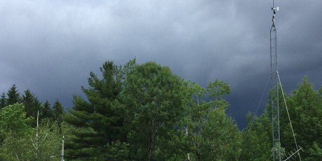
Norfolk’s August weather, through two-thirds of the month, was highlighted by two big weather events that hit during the first week of the month. A small tornado touched down in North Norfolk on August 2. The tornado in town was actually from one fairly small storm cell that had several touch down points spanning from Sharon to Tolland, MA. There was damage to some property and many trees blew down at the touch down points, but damage was not widespread. For widespread damage we only had to wait until August 4 when Norfolk was hit with effects from a tropical storm. Most of the heavy rainfall from this storm went just to the west of Connecticut. Norfolk recorded 1.16 inches of rainfall, a manageable amount. The big weather story from this storm for Norfolk and many locations throughout the state was the relatively high winds associated with the storm. There was extensive tree and powerline damage all across the state, perhaps the worst was in western and northwestern Connecticut. Power was out for several days (or more) in many locations. Needless to say at this point, Norfolk’s fine emergency personnel and many utility companies were very, very busy in town for many days and nights and many homeowners and businesses had to deal with a long duration power outage.