Warmest March on Record
By Russell Russ
It really was the winter that wasn’t. March was our fourteenth consecutive month with warmer than normal average temperatures. You have to go back to January 2011 to find a month with below-normal temperatures. March even took it to a new level by being the warmest March in our 81-year recording history. Precipitation was way down and temperatures were way up. This combination resulted in a higher-than-normal forest-fire risk, creating the need to issue Red Flag Warnings.
March’s low temperature of 13 degrees was observed on March 6 and the high of 76 degrees was observed on March 19. With an average temperature of 41.8 degrees it was an amazing 11.3 degrees above normal. March 2012 is now the warmest March we’ve recorded since we began in 1932, beating the old March 1946 record of 40.9 degrees. The average monthly temperature for March is 30.5 degrees so this March was really more like a normal April than a March. This unusual warmth has been the theme all winter long.
Four days in March set new high-temperature records for that date, and three days fell just short. On March 12, the temperature climbed to 66 degrees, shattering the previous record of 60 degrees set in 1977. A heat wave on three successive days in the third week, on March 18, 19, and 20, saw temperatures reach records of 71, 76, and 75 degrees respectively, displacing earlier records of 65, 65, and 73 degrees set in 1966, 2010, and 1945.
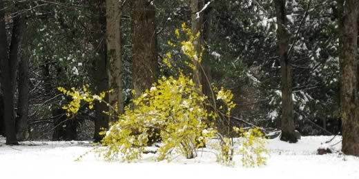
The total precipitation recorded for the month was 2.07 inches, 2.44 inches below normal. It was the sixth driest March in the last 81 years. March’s snowfall total was 11.4 inches, 6.7 inches below normal. Not record-worthy, just below normal as has been the case all winter long.
The snowfall total for this winter season, October through March, is 55.7 inches, which is 28.5 inches below normal for this time period. For the first quarter of 2012, our snowfall total of 28.6 inches is 30.8 inches below normal and our total precipitation amount of 6.93 inches is 5.27 inches below normal. As far as precipitation goes this is pretty much the opposite of where we were last year at this time.
The scant snow cover vanished on March 12, the first day of record-setting heat, and the ground remained bare until a 3.4-inch snowfall on March 31. Norfolk’s ponds, which froze slowly this year—the shallow ones in late December and the deeper ones in mid-January—lost and then regained their ice cover in February, then showed open water again for the season between March 8 and 12. This was four weeks earlier than last year and two weeks earlier than in 2010. Coinciding with the warm spell that doomed the pond ice was the early end to the local maple syrup season. This spring’s syrup season was nearly three to four weeks shorter than normal, or about half the length of a typical season, which lasts six to seven weeks.