Third Warmest February on Record
By Russell Russ
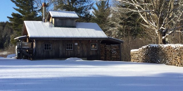
Much like last year, this February started off very winter-like. All ponds were iced over, temperatures were seasonably cold, there was snow on the ground and snow was falling. Through two-thirds of the month, winter, which took hold in late December and continued all through January, had a firm grip on the weather. Then came the big warm up. The last week of the month was more like late spring than the deepest part of winter. Just like last year, by the end of the month we had seen record temperatures, the snow was all gone and the ponds were free of ice. Even the sap was flowing like it was late spring. It was a great month for maple syrup production. Spring had arrived. For the moment anyway.
The month’s low temperature of 1 degree was observed on February 3. The high temperature of 70 was observed on February 21. The average monthly mean temperature was 29.9 degrees, 8 degrees above normal. It was the third warmest February over the last 87 years. The warmest Februarys on record were in 2002 with 30.7 and 2017 with 30.2 degrees. There were three daily record high temperatures this month; Feb 12 with 52 degrees (was 45 in 1932), Feb 20 with 62 (was 57 in 1939) and Feb 21 with 70 (was 58 in 1953). The two coldest Februarys, also the two coldest of any month, were February 1934 with 9.0 degrees and February 2015 with 10.9 degrees. The average mean temperature for February is 21.9 degrees.
The total precipitation recorded for the month was 5.42 inches, 1.79 inches above normal. The 2018 calendar year, January and February, total precipitation amount of 10.97 inches is 3.33 inches above normal. Drought is currently not a concern.
The monthly snowfall total of 16.5 inches was 4.1 inches below normal. A majority of the snowfall came during the first half of the month. The 2018 calendar year snowfall total through February is 36.7 inches. This is 4.8 inches below normal, but 7.4 inches more than last year at this time. The snowfall total for this winter season, October through February, is 53.1 inches. This is 12.9 inches below normal and 13 inches less than last winter at this time.
A look ahead to March shows that spring in fact was not just around the corner and that any snowfall deficit would soon be completely changed to a large snowfall surplus. The first day of March was warm and there was no snow on the ground. Then, after three nor’easters and potentially a fourth by the third week of the month, things were very, very wintery once again.
Temperatures were running about 2 degrees colder than normal and it would be an understatement to say that Norfolk saw some snowfall in March. As of March 15, just after the third storm, March’s snowfall total was 42.7 inches. This is 25.2 inches above the monthly normal and by mid-month this March was already the fifth snowiest over the last 87 years. By mid-month Norfolk was just 4 inches away from recording its second snowiest March over the last 87 years. Sorry, there are no records at this weather station from the Blizzard of 1888. The snowiest March on record was in 1956 when 73.6 inches were recorded. Pretty good chance we will not reach that amount this year, but coming in as second snowiest seems very likely.